North Sea marinas
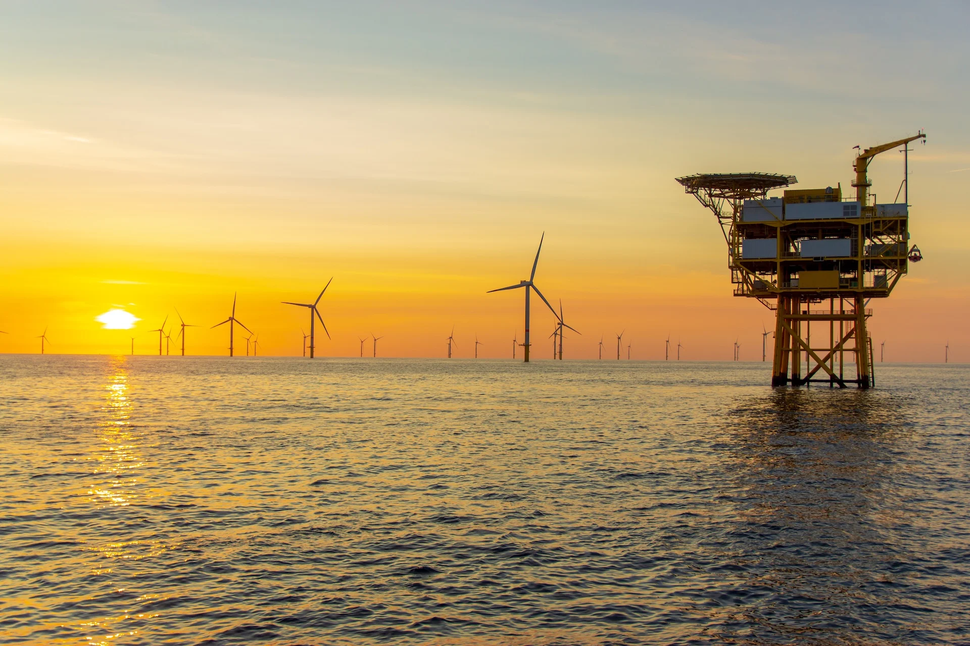
The North Sea is a shallow, windy basin between Britain and Scandinavia with strong tides, heavy traffic, and dense clusters of offshore wind farms and oil-and-gas installations.

North Sea
The North Sea is a working coastal sea that requires careful pilotage and chart work more than sheltered anchoring. It links the UK, Norway, Denmark, the Netherlands, Germany, Belgium and France. Coasts differ: tidal estuaries and sandbanks dominate the south, island and fjord approaches appear to the north, and some open transits are long and exposed where choosing a weather window matters.
Most recreational cruising is easiest in the summer or peak season, when daylight is long and weather is generally more settled; shoulder months are cooler and bring more frequent frontal systems. Exact timing and local practice vary by sub‑region, so check locally for the best window.
Weather is driven by frequent Atlantic frontal systems and, because much of the sea is shallow, wind over tide can quickly produce short, steep seas. Tides and tidal streams are decisive in many estuary entrances and across sandbanks; poor visibility increases the need for traffic awareness. Check official tide and current products and local pilotage information before committing to an approach.
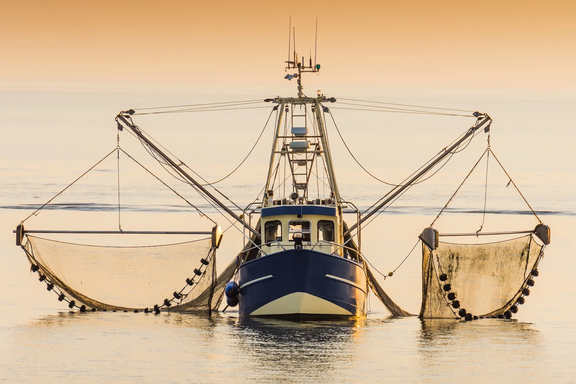
Harbours, commercial ports and marinas are common along most coasts; services vary by port. Crews normally plan short hops between established visitor berths rather than rely on remote anchorages. Shipping lanes, offshore wind farms and busy port approaches are part of the region’s character — follow charted routeing measures and any local reporting or VTS procedures.
The North Sea suits crews who are comfortable with pilotage, chart work, tidal timing and traffic management. Novice crews are best limited to short coastal legs or should consider hiring local pilot or skipper help for longer transits. Plan around tides and routeing schemes, keep charts and Notices to Mariners current, and confirm fuel and repair options and marine forecasts before committing to long exposed legs.
Marinas on the map
Use the map to understand the region visually before opening country, destination, and marina pages.
Countries in North Sea
Choose a country to open its sailing destinations, cities, and marinas.


Browse by destination
Open a destination to view nearby marinas with approach notes, depths and moorings, contacts, facilities, pricing, and reviews.
54
Marinas
Detailed marina pages available in this region.
33
Destinations
Cities, islands, and sailing areas connected with marina coverage.
4
Countries
Country pages available inside the region.