Western Mediterranean marinas
Busy islands, strong marina networks, sea-breeze sailing, and local wind systems around Gibraltar and the Balearics define the Western Mediterranean.

Western Mediterranean
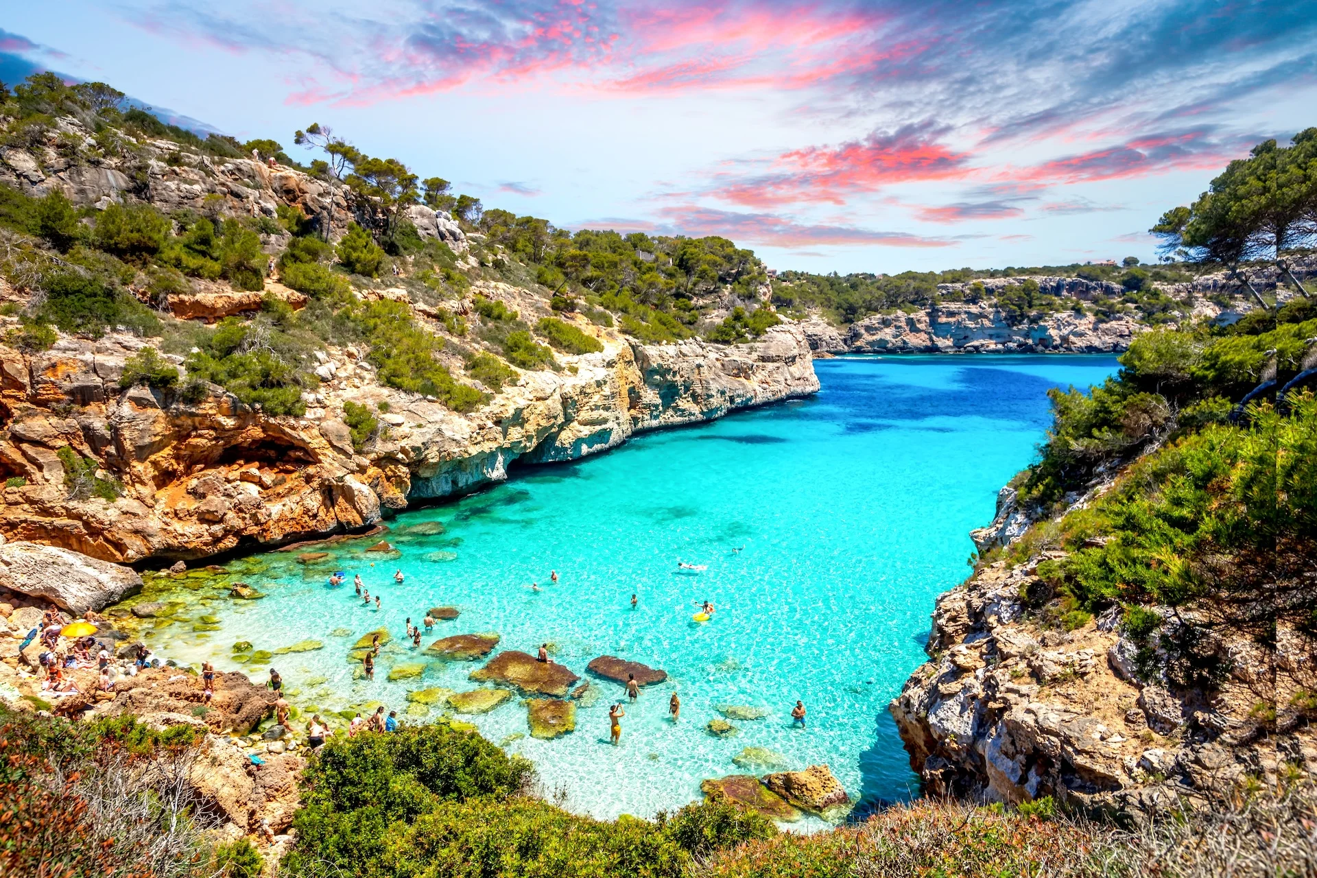
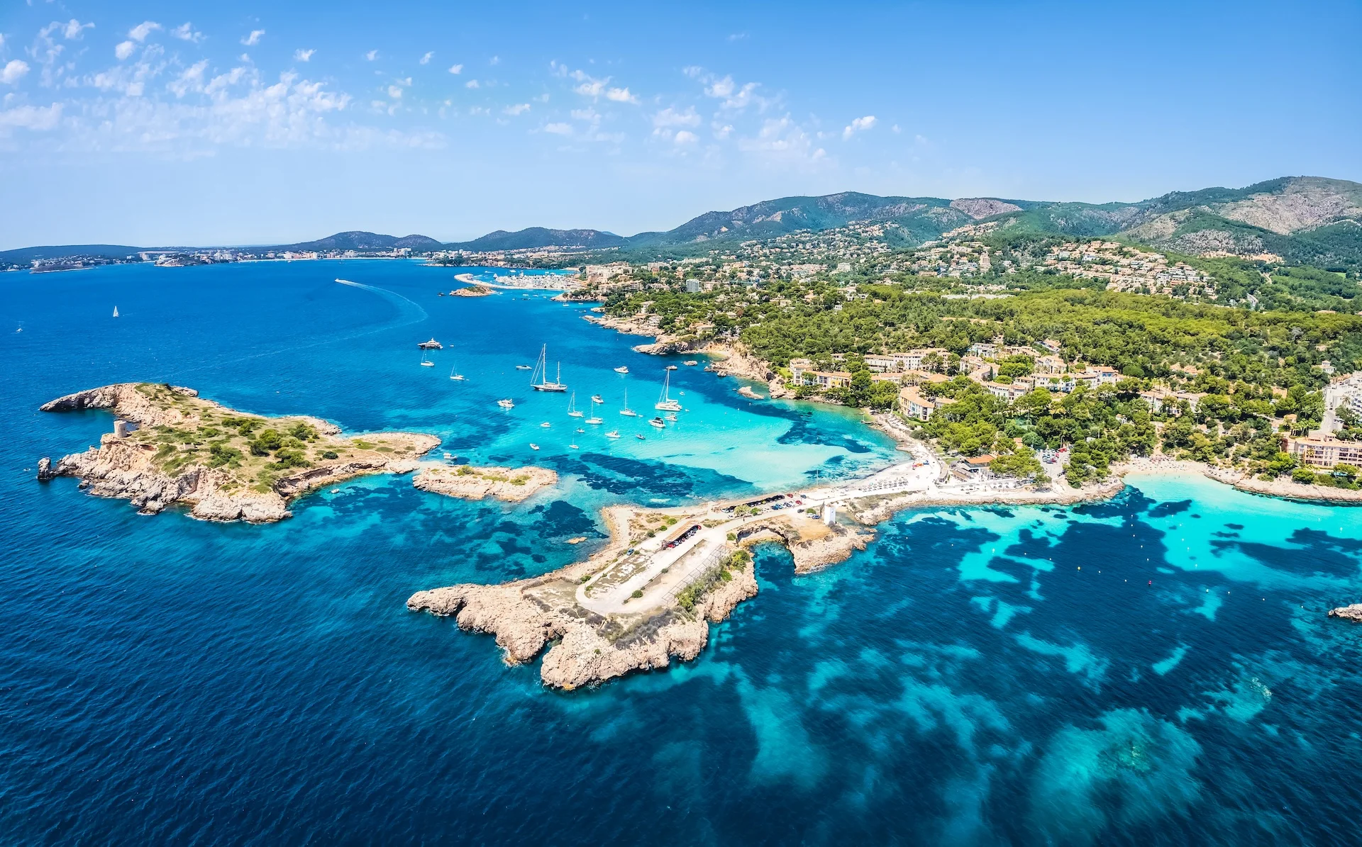
The Western Mediterranean is a compact but varied cruising ground. Around the Strait of Gibraltar and the Alboran Sea Atlantic influence remains: wind shifts, currents and Levante (easterly) or Poniente (westerly) patterns can shape passage conditions. Farther east, the Balearics and Spain’s and France’s Mediterranean coasts favour short island hops, clear water and a dense marina network centred on major hubs.
Main cruising season runs late spring through early autumn (roughly April/May to October). Summer is busiest and shoulder months (May–June, September) often give steadier weather and fewer crowds. Winter is milder than Atlantic coasts but more changeable and some tourist services scale back.
Wind is the principal planning factor. Expect Levante/Poniente near Gibraltar, stronger northerly episodes up the coast, and local sea‑breezes in island areas. Vertical tidal ranges are generally small, but currents in narrow passages and constrictions — notably the Strait of Gibraltar — can dominate conditions.
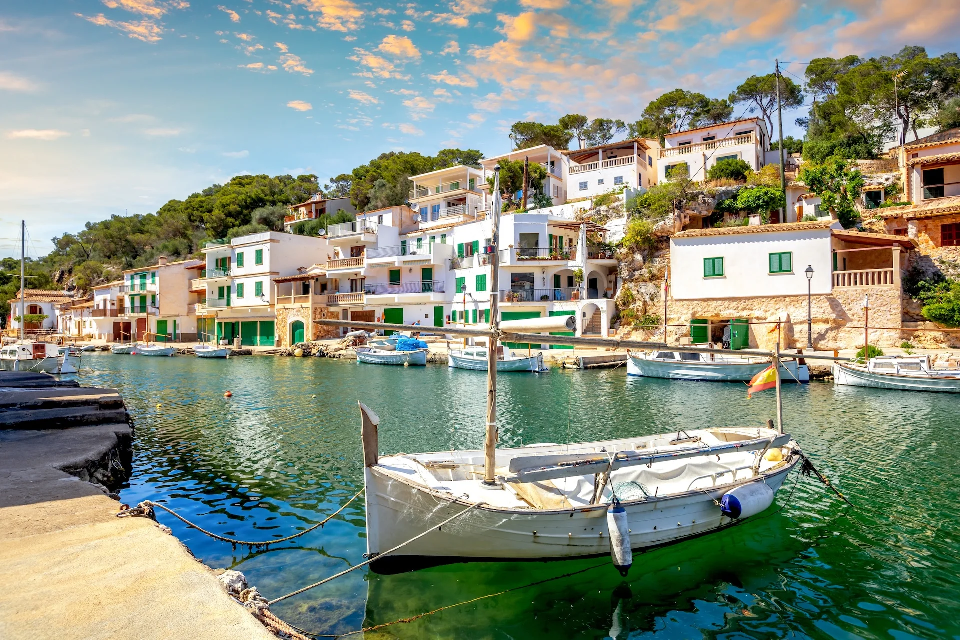
Marina and port density is high across the Balearics and along major Spanish and French corridors. Fuel, provisioning and technical support are widely available in main hubs; quieter anchorages and coastal stops are common outside them. Berth bookings are commonly needed in peak summer and charter traffic is widespread in popular areas.
The region suits crews who want comfortable, service‑rich coastal cruising and short island hops. It also offers offshore legs and windier crossings that appeal to experienced skippers; less‑experienced crews should favour summer or shoulder months and consider pre‑booking berths or flotilla support.
Planning notes: book ahead for busy berths; use official marine forecasts (AEMET MeteoNav, Météo‑France in French sectors), port notices and NAVTEX/GMDSS bulletins before departure. Plan Strait of Gibraltar crossings with current, wind and traffic information, and keep pilotage and chart data current for narrow passages and major port approaches. Allow flexibility for weather windows and daylight arrivals at unfamiliar ports.
Marinas on the map
Use the map to understand the region visually before opening country, destination, and marina pages.
Countries in Western Mediterranean
Choose a country to open its sailing destinations, cities, and marinas.

Browse by destination
Open a destination to view nearby marinas with approach notes, depths and moorings, contacts, facilities, pricing, and reviews.
43
Marinas
Detailed marina pages available in this region.
13
Destinations
Cities, islands, and sailing areas connected with marina coverage.
2
Countries
Country pages available inside the region.