🇬🇮 Marinas in Gibraltar — Western Mediterranean
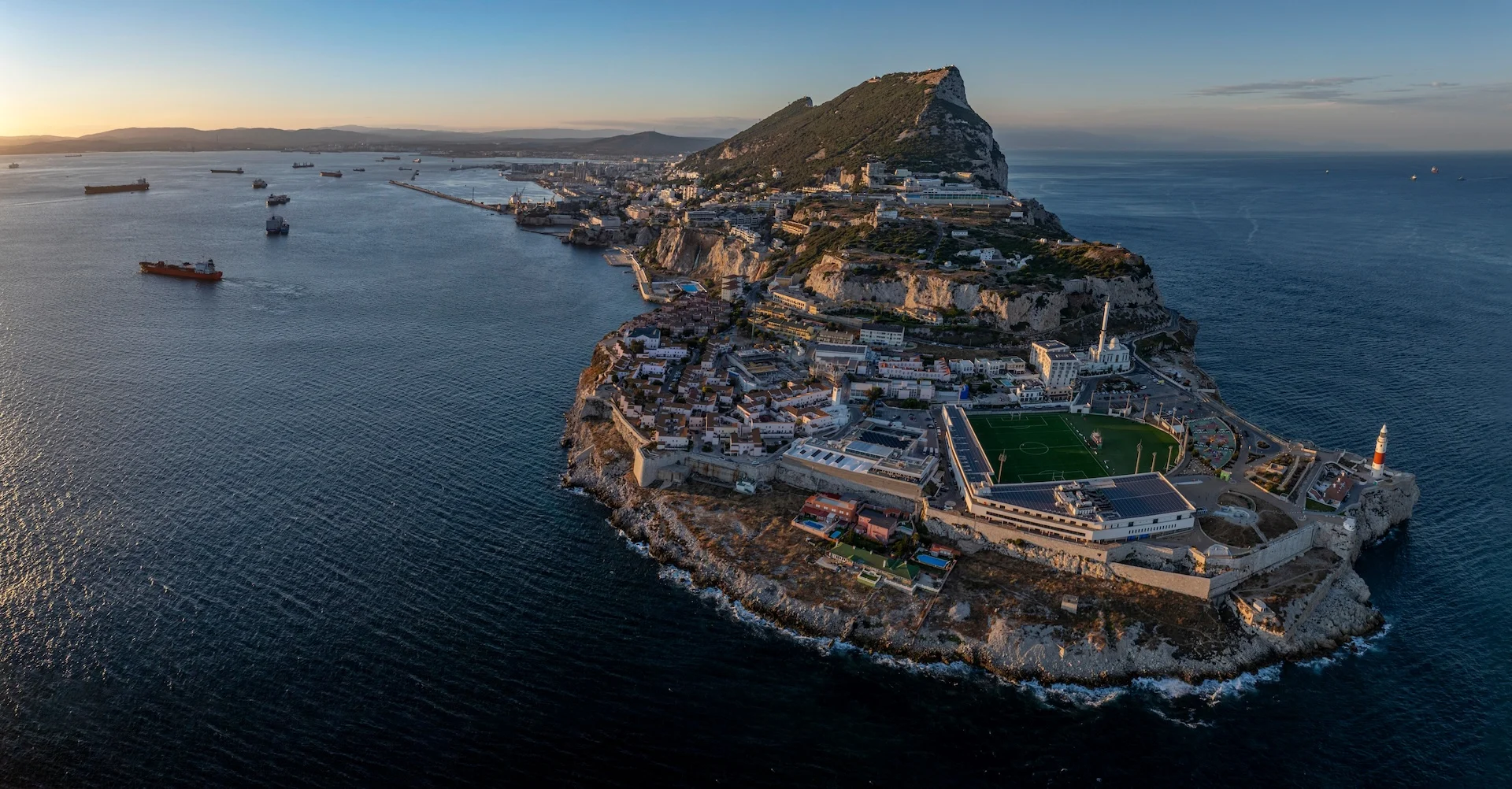
Gibraltar is a British Overseas Territory at the entrance to the Mediterranean, with a town and yacht harbours beneath its towering Rock.
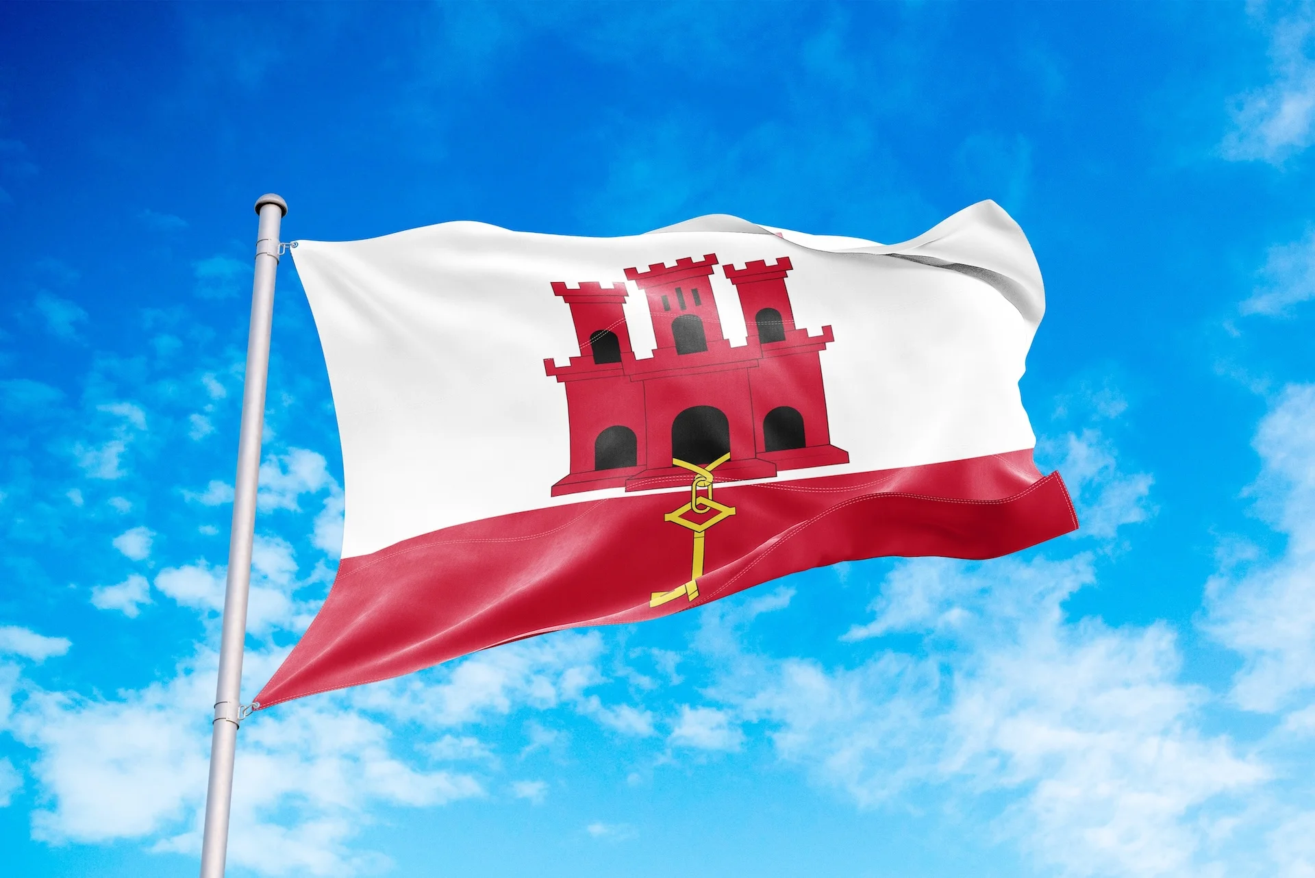
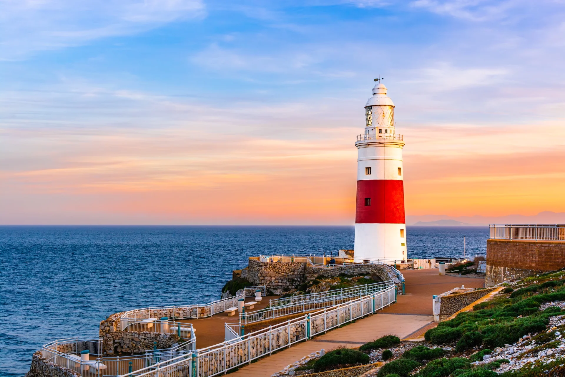

Gibraltar
Gibraltar occupies a small peninsula on the northern side of the strait linking the Atlantic and the Mediterranean. The town, port and yacht harbours are concentrated west of the Rock, facing the Bay of Gibraltar. Sandy beaches lie beneath steep slopes on the eastern shore.
Summers are generally warm and dry. The easterly Levanter brings moist air, a cloud over the Rock and sometimes sea fog; in summer, the westerly Poniente more often brings clear weather. Winters are mild but wetter, and strong winds can limit sea passages at any time of year.
Currents, funnelled easterly and westerly winds, and heavy shipping traffic combine in the Strait. Conditions differ from those inside the yacht harbours: a passage between the Atlantic and the Mediterranean depends on weather and currents, not just distance.
Ashore, British traditions sit alongside Mediterranean life. Fortifications and tunnels recall the military past, while the nature reserve on the Rock offers views of the Strait and the African coast. This small territory brings together a port town, rocky walking trails and beaches.
Sailing character
- Open coast
What to explore ashore
- Historic towns
- Maritime heritage
- Coastal nature
Watch out
- Local wind acceleration — Outer approaches by the straitStronger easterly or westerly winds around the strait.
- Sea fog — Outer approaches by the straitLevanter conditions can bring fog and reduced visibility.
Sailing areas
The town can be visited year-round, but a strait passage depends on the particular combination of wind, current and visibility.
- Town harbours and western shore
- Outer approaches by the strait: Open coast
Practical information
Currency
Gibraltar pound; sterling accepted at parity · GIP
Official languages
English
Emergency contacts
General emergency number
999Gibraltar RCC / Gibraltar VTS
+350 200 61743VHF voice channel 16
Round-the-clock maritime emergency contact. Distress voice calls use VHF 16.
Official resources
- Strait forecast · AEMET Estrecho area: wind, sea and warnings
- Port and notices · Gibraltar Port Authority Official announcements and port-authority contacts
- Gibraltar customs · HM Customs Gibraltar Confirm current private-yacht clearance
Checked
Information sources
Checked
-
Gibraltar Government — Weather
Sailing here
-
Gibraltar Port Authority — Private marinas
Sailing here
-
Research — Analysis of tidal flows through the Strait of Gibraltar
Sailing here
-
Gibraltar Tourist Board — Nature reserve
Sailing here
-
Gibraltar Tourist Board — General information
Currency · Official languages
-
FCDO — Gibraltar, getting help
Emergency contacts
-
Gibraltar Port Authority — Search and Rescue plan
Gibraltar RCC / Gibraltar VTS
Marinas on the map
Use the map to place the country, its sailing destinations, islands, and available marina pages before choosing where to sail next.
Popular places in Gibraltar
Browse popular sailing places in Gibraltar. Places with the most marinas appear first.