Марины Харлема
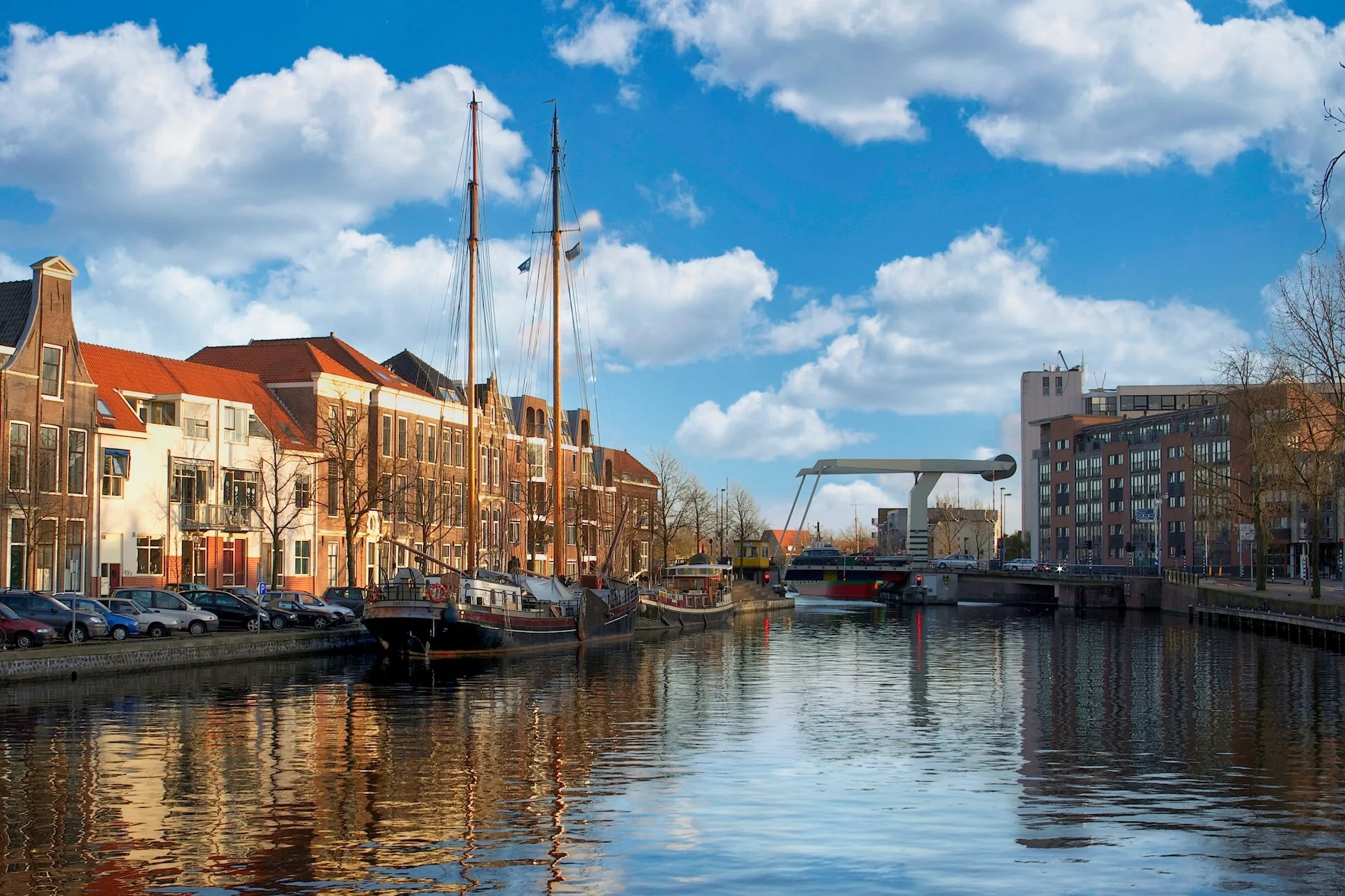
Харлем — внутренний узел Standing Mast Route на реке Спарне: проход через десять мостов конвоями, связь с Североморским каналом через Спарндам и практически неприливные воды.
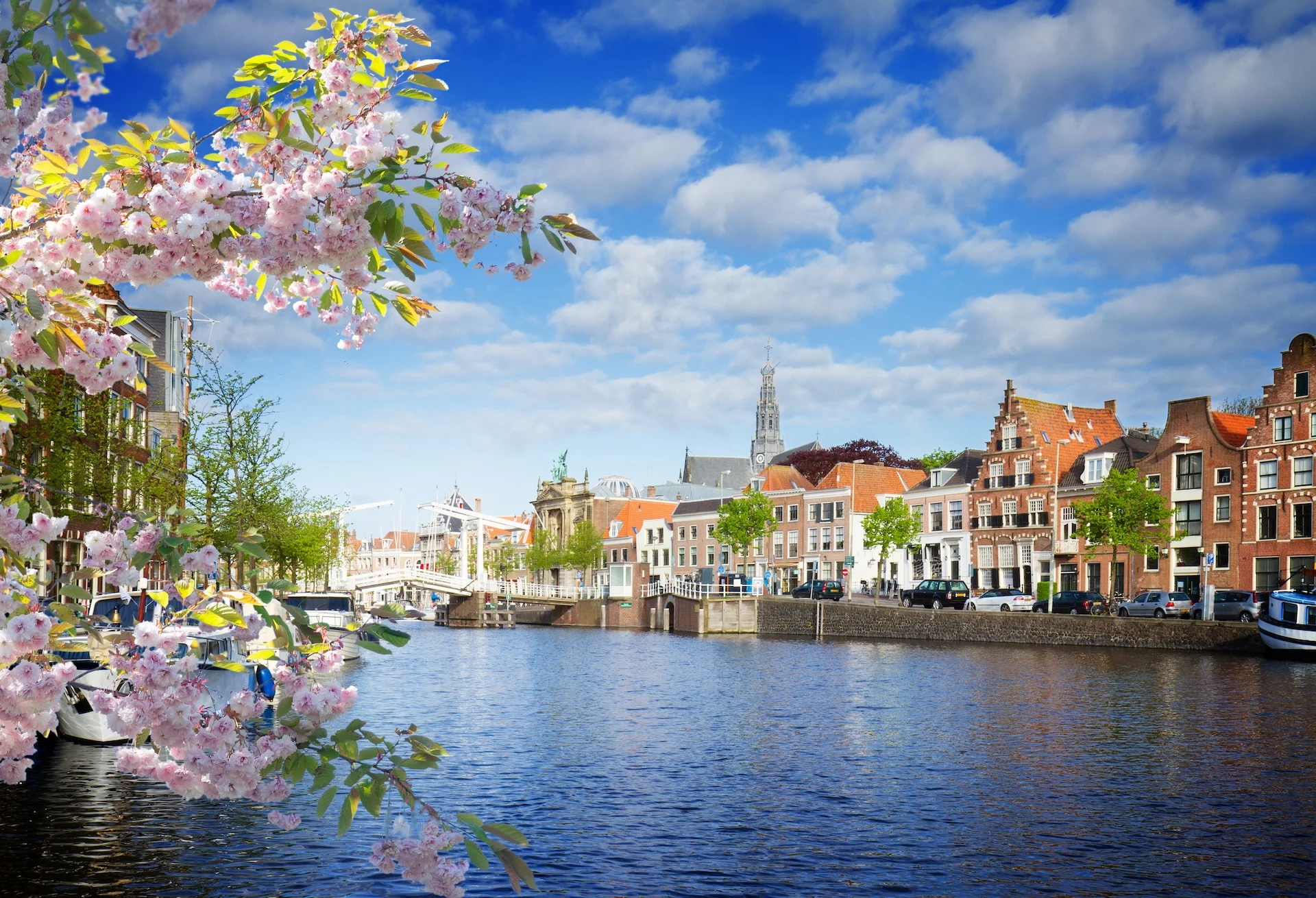
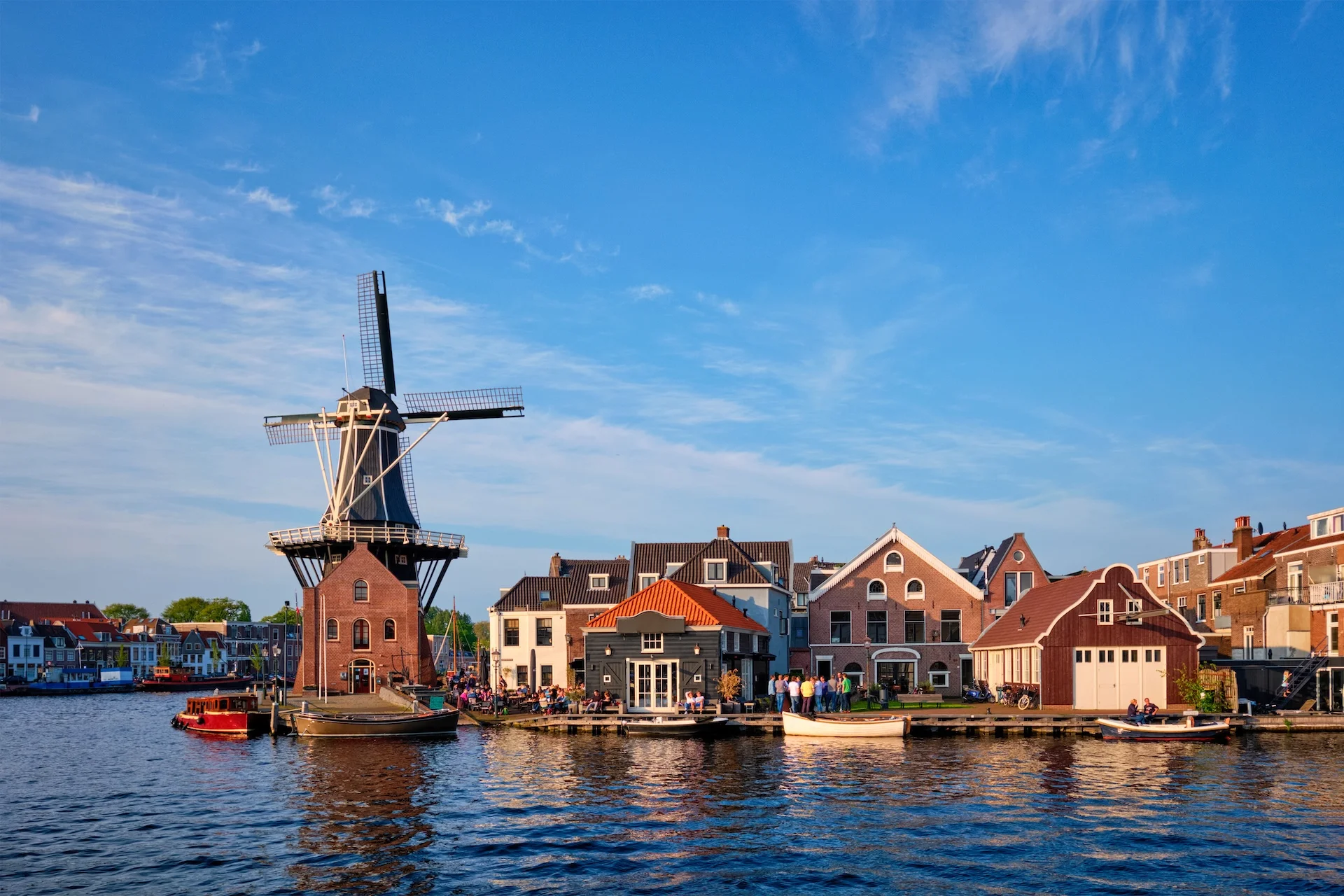
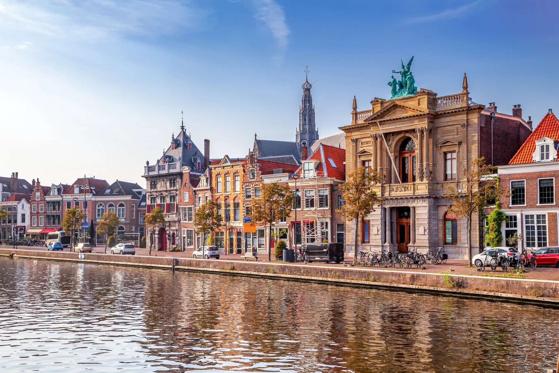
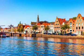
Харлем
Haarlem расположен на реке Spaarne вдоль Standing Mast Route между North Sea Canal (через Zijkanaal C и Spaarndam) и водами Kaag/Ringvaart.
Через город проходит десять мостов; транзит обычно занимает около 1–1,5 часов в составе конвоя, в зависимости от железнодорожного моста и трафика. Открытия мостов координирует Harbour Service по VHF 18, с дневными/вечерними окнами и конвоями «Blue Wave», согласованными с переходами A9/A44.
Воды не приливные; местное ограничение скорости — 6 км/ч.
Взимается единый мостовой сбор (bruggengeld) за транзит, оплата возможна также через AanUit.net. На северном выходе исторический Kolksluis в Spaarndam — самый старый действующий шлюз в Европе (XIII век).
По набережной Spaarne тянутся муниципальные гостевые причалы (пребывание до 21 дня в течение 3 месяцев).
Места на карте
Марины Харлема
Марины отсортированы по оценкам и отзывам шкиперов.